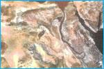
Satellite imagery analysis for regional geological mapping.
• Subsurface data integration • Structural mapping and stratigraphy integration with the surface geology • Environmental and facilities monitoring
Seismic Quality Control (QC)
Geophysical Studies